 |
| Trail marking on Carlton Peak |
Following are some thoughts on the course, section by section. I include my splits from two years (2014 with a 31:36 finish and 2015 with a
29:34 finish, both years in 38th place; I don’t have splits for my much slower
2013 finish nor do I want to see splits for my 2016 DNF drop at County Road 6). I include the position by aid station because I find it fascinating that I finished in the same position in these two years, but I got to that position in much different ways. This year I'm heavier and slower due to a season full of injury. I hope to have as much fun as possible and make it to Lutsen on foot.

Gooseberry to Split Rock
(9.7 miles): These don’t compare year to year. In 2015 the race switched course to
follow the paved Gitchi Gumee bike path to the Split Rock River, where runners
leave the pavement to follow the river. The course changed because the SHT changed due to easement issues with the owner. I prefer the pavement. It provides a nice
opportunity for runners to spread out early before hitting single track. It helps avoid the starts and stops associated with every stump and stream. This
year runners will have to cross the Split Rock river without a bridge. The river and its
clink of rocks is always a lovely section and its fun to see and yell at runners across the river.
Split Rock to Beaver
Bay (10.3 miles):
2014: 2:19, 73rd pos
2015: 2:08, 48 pos
I rarely remember anything about this section. The SHT
guidebook says its “a challenging section with steep ascents
and descents and dramatic views both of Lake Superior and inland.”I don't know why I remember nothing, only a stream crossing or something similar.
Beaver
Bay to Silver Bay (4.9 miles)
2014: 1:20, 72nd pos
2015: 1:04, 43rd pos
This is where the fun starts. We get exposed
climbs, rocky ridge-top running, and rootsy sections along the Beaver River. I
like to swim the Beaver River when training, and it's not a bad idea to dip your head here if it's warm. We get several teasing views of Silver Bay
before reaching it. For such a short section it can be tough, and it's here that the heat starts to play with you if it's going to play.

Silver Bay to
Tettegouche (9.9 miles)
2014: 2:41, 71st pos
2015: 2:24, 38th pos
This might be the hardest section (or maybe the toughest section is whatever section you're on). We’ve run a marathon by
now. The climbs are big and we are often on exposed rock in the afternoon sun. Leaving the aid station we start
with a long climb to Bear Lake. Mount Trudee is another long one, but after that
it is very runnable stuff through Tettegouche State Park. When I ran this section last
week, I noticed multiple places where I’ve vomited in different years. I think
that's been due to heat as much as terrain. This year I hope to back off and see if it pays off later. I need to make a conscious
effort to slow down through here. I will use poles too.

Tettegouche to County
Road 6 (8.6 miles)
2014: 2:40, 78th pos
2015: 2:20, 36th pos
I need to make sure I have a light when leaving
Tettegouche—I got stuck without one in this section last year, my own
stupidity. From the Tettegouche aid station to Highway 1 it’s very runnable. The
Baptism River below the falls is one of my favorite places to swim. After
Highway 1, the Fantasia climb is long and something most runners never talk
about. It’s not known as one of the big climbs of this race, but it’s one of
the bigger climbs of this race, at least in my mind. I love the view of the
lakes by Wolf Ridge. After that it’s very runnable to the aid station. I love
the view of the aid station from Sawmill Dome, such a welcome sight. This
section can feel long, at least it did to me last year when I dropped at the
end of it.

County Road 6 to
Finland (7.7 miles)
2014: 2:43, 73rd pos
2015: 2:13, 34th pos
While there are some big elevation bumps in this section I
don’t remember them as obstacles. But I forget things. I never remember going
through Section 13. What I always remember is how fun it is to run the last few
miles into Finland, and what a party it is once I get there, the halfway point.
This halfway point is always a symbolic turn from day to night for me, even if
I’ve been running in the dark for a while. It’s a time to make sure I have
warmer night clothes and such.
Finland to Sonju Lake
Road (7.5 miles)
Splits aren’t available for this section as Sonju is more of
a minimal aid station without crew access. I love the short gravel road section at
the beginning—it makes the sky seem bigger. The highest point of the entire course is
the forested ridge just beyond Egge Lake, but it doesn’t feel high and it
doesn’t feel like it takes huge climbing to get there. Lots of this stuff is in forest
with lakes and boardwalks. Beware the campfire at Sonju Lake aid station—it can be
a difficult one to leave, especially if it’s a cold night.

Sonju Lake to Crosby
Manitou (4.2 miles)
Splits are combined with previous section.
2014: 4:01, 61st pos
2015: 3:18, 36th pos
The elevation chart shows much of this section to be
downhill, but I never believe elevation charts. A couple easy climbs lets me
know I’m closing in on the end, and then we pop out onto the gravel road
approaching Crosby Manitou State Park, lined with cars full of sleeping crew
people. The sky opens up nicely on the road, and because it’s been awhile since
a bigger aid station, this feels like a nice homecoming.

Crosby Manitou to
Sugarloaf (9.4 miles)
2014: 3:43, 55 pos
2015: 3:14, 44 pos
When researching the book, I looked closely at drops by aid
station. Crosby Manitou and Sugarloaf are the two top ones, and many years,
especially the warmer ones, County Road 6 is right beside them. But this
section is more of a mindfuck than anything. It’s dark and late and starts with
a long and steep descent and ascent with three demoralizing false peaks through
the Manitou River Gorge. It’s one of the longer sections. Your body wants to
sleep. You may even see the sunrise on this one. You should definitely turn off
your headlamp and look up while it’s still dark. And after that initial gorge,
this section is very runnable, especially after crossing the Caribou River,
which is a great place to dip your head in. I should bring poles.

Sugarloaf to Cramer
Road (5.6 miles)
2014: 1:43, 54th pos
2015: 1:38, 38th pos
Even though I ran it last week, I don’t have much to say
about this shorter section. It has a lot of creek crossings. It happens in that
time when memory gets fuzzy for me.

Cramer Road to
Temperance River (7.1 miles)
2014: 2:36, 48th pos
2015: 2:14, ? pos
A couple river valleys in this section. The Cross River is
beautiful and sounds lovely in the early morning, but it can be irritating with
its minor climbs, probably more mentally irritating than anything because I
expect running beside a river to be relatively flat. It's a steep climb away from the river. Once you hit the park it’s
a nice long descent into the Temperance River aid station. You’ve got less than
a marathon to go.

Temperance to Sawbill
(5.7 miles)
2014: no Sawbill data
2015: 1:42, 47th pos
Despite the Carlton Peak climb, this is one of my favorite
sections. I love running along both sides of the Temperance River. I love
leaving the Temperance River and the long and gradual and
maybe-runnable-at-spots climb towards Carlton Peak. If you've only approached Carlton Peak from the north, the climb from the south can be a bit rockier. Even the longish drop off
of Carlton Peak to Sawbill is fun with its boardwalk descents.
 |
| Approaching Carlton Peak |
Sawbill to Oberg (5.5
miles)
2014: no Sawbill data, 39th pos
2015: 1:37, 36 pos
Less than a half marathon to go. This section isn’t bad. It’s
mostly shaded, as is the next section too. There are really no huge climbs, no
big landmarks. It seems to be mostly about getting from one spot to the next.
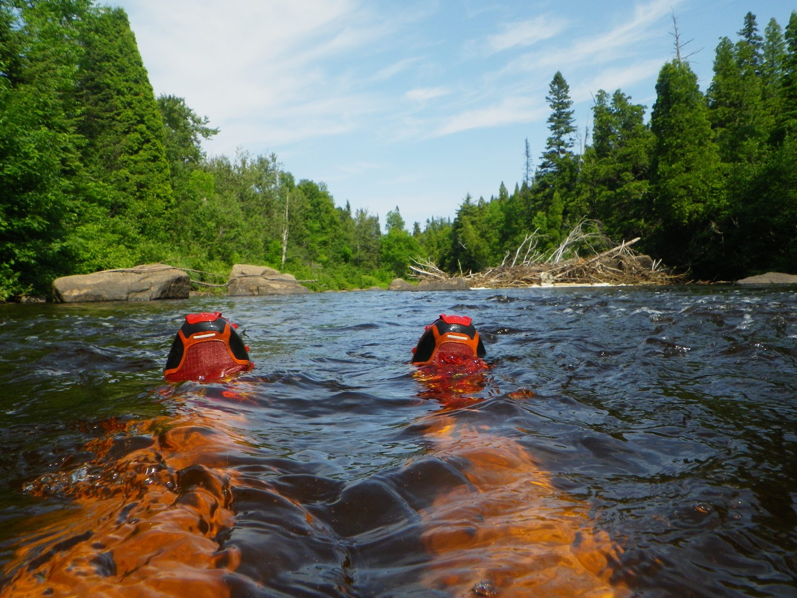
 |
| Tom Weigt and the Poplar River |
Oberg to Lutsen (7.1
miles)
2014: 2:22, 38th pos
2015: 2:07, 38th pos
You leave the aid station wanting to cry because you’re
going to get this thing done, one way or another. The climbs here don’t matter.
They just don't matter. Bigger climbs are behind you. Moose Mountain is steep but short. Last time I did it during the race it felt
like a funeral procession, silent and solemn and oddly serious. Somewhere from
the top of that ridge you can hear the finish but it’s still an hour away.
You’ll have to circle around to it, which means over Mystery Mountain, which is longer but
has switchbacks. It’s one of the only times you’ll get switchbacks on this
trail. Once you see that group campsite atop Mystery, it’s mostly downhill.
Ride that fucker down to the river. No matter what the feet feel like, the
sound of the Poplar River will temporarily erase that. Maybe. Then pavement. And that lump in your throat. Get
yourself a buckle.