To prepare for this trip, Lisa and I spent a week on Royal Caribbean's Jewel of the Seas that ported out of San Juan, Puerto Rico. It was a lovely and elegant ship and never felt too crowded. We knew our week on Saint John would require practice, so we worked on our eating, floating, and chilling out skills. After the cruise, on Saturday morning, we were the first to disembark and we headed to the airport, where we took a Cessna ten-seater (Cape Air) for an amazing flight over the northwest coast and Culebra and landed in Saint Thomas.
 |
| Culebra |
 |
| Landing |
My parents had arrived in Saint Thomas the previous day so we picked them up in Charlotte Amalie and headed to the Red Hook ferry. There's something magical about destinations that require boat rides to get there--I think of Disneyworld, Isle Royale, and now Saint John. The ride only took about 10-15 minutes.
 |
| On the Red Hook ferry |
We rented our jeep, checked into our place, hit the Starfish Market for groceries (we later found the Saint John Market near the Westin to be much cheaper, as well as the Love City Mini Mart on the east side), rented snorkel fins for my dad, had an early dinner in Cruz Bay (or was it lunch?), then hit Trunk Bay for a swim before sunset.
 |
| Trunk Bay sunset |
 |
| Trunk Bay sunset |
|
|
Driving: This is another thing that took training, and years of video games have given me the skills to succeed at driving on Saint John. I loved it. Road obstacles such as donkeys, sheep, goats, etc. kept me alert. The longest stretch of straight road seems to be about 40 yards, and switchbacks are common. So are rental jeeps, and we went through two of them in our week there.
The locals seem nice about people like me who forget that driving takes place on the left side of the road. One night in Cruz Bay, with my window down I heard someone repeating, "Left. Left. Left." He was speaking to me and I needed that reminder. The roundabout in Cruz Bay where five roads come together must be the best spot for entertainment on the entire island, especially if I'm circling it. The only way to get through it is to find some point of mutual understanding with the other drivers, and smiles and polite hand gestures are more than helpful.
House: We stayed in a villa called Over the Rainbow, which is on a hilltop between Fish Bay and Reef Bay on the south side of the island. The place was perfect for us. The views of Fish Bay at night were wonderful, and because the villa is on the edge of the national park, our views to the east showed completely undeveloped shore all the way to Ram Head. Such thick skies at night, and the sounds of the night forest were beautiful, though overwhelming at first.
 |
| Angel |
Many cats live in the forest around our place. Lisa made friends with them and soon they were watching us through the big glass doors. Their new names are Sweet Pea, Smokey and Angel. In one of the biggest surprises of the week, my mom heated leftover mac and cheese and fed it to them. The island even made her like cats!
 |
| Sunrise, looking toward Ram Head from Over the Rainbow |
From our place, it was a short but steep walk down to the beaches of Reef Bay. Then we were able to walk around or over some big rocks to find the ruins of the Reef Bay Rum Factory.
 |
| Reef Bay beach walk |
 |
| Some rocks we walked around and over |
 |
| Tree-climbing soldier crab |
 |
Rum factory ruins
|
|
Salt Pond Bay: We went to the east side of the island a couple different times and fell in love with Salt Pond Bay. On the way, we met donkeys on Centerline Road. We saw one on the porch of Pickles Deli. Later, we saw donkeys on the beach at Maho Bay. We also saw sheep on Centerline Road, although we thought they were goats. Someone taught us how to tell the difference by their tails: goat tails point up, sheep down.
 |
| Salad donkey |
 |
| Pickles Deli donkey |
 |
| Road donkeys |
From Salt Pond Bay, we did a couple hikes. The first was to Ram Head and Drunk Bay. Ram Head was scenic with lots of cacti and expansive vistas, while Drunk Bay was full of little coral people splayed all over the rocks. We left a guy made of coral and coconut husk there too. And when we sent my parents to see "something really cool at Drunk Bay," my mom naturally assumed I was directing her to the nudist beach.
 |
| No Grandpa, I want a different rock. |
 |
| Cactus |
 |
| Ram Head trail |
 |
| Ram Head trail |
 |
| Coral people of Drunk Bay |
 |
| Drunk Bay and a lovely lady |
 |
| Our guy is on the right. |
A few days later we came back and drove to the end of the road, past Salt Pond Bay and the Lameshur Bays, and we hiked the old Lameshur Road trail to the Reef Bay Estate ruins and then on to the Taino Petroglyphs.
And then on to the Taino petroglyphs:
 |
| These were historic when Columbus arrived. |
Yes, all these trails were awesome for running too. Of course.
On the north side of the island, we explored the Annaberg ruins.
 |
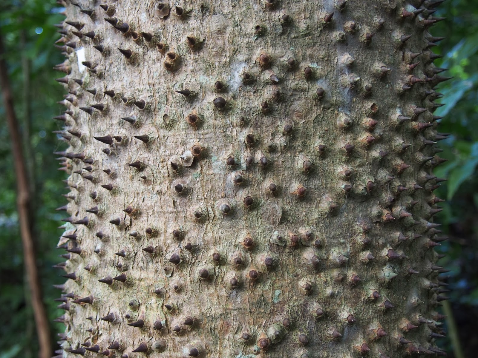
| Monkey-no-climb tree |
Next time we'll talk about beaches and snorkeling, if you care to join me.


No comments:
Post a Comment